

This archive contains recordings, materials, and resources from past training sessions relating to ESA's Climate Change Initiative. These sessions featured interactive Jupyter Notebooks, offering hands-on learning for effectively analysing and extracting valuable insights from CCI data.
Analysing LST and Uncertainties: Insights from ESA CCI Data
This training demonstrates how to access, visualise and analyse ESA CCI Land Surface Temperature data to investigate urban heat islands, compare urban and rural temperatures and assess data uncertainties.
Communicating Climate Change with the ESA CCI's ECVs
This training provides beginner-to-advanced practical skills in accessing, analysing and visualising ESA CCI climate data using Python, exploring climate trends and El Niño events, and understanding uncertainties in satellite-derived Essential Climate Variables.
Visualising Forests in a Changing Climate: A Data Challenge
This training explores how climate change affects forest ecosystems using ESA CCI climate data, introducing methods to access, analyse and visualise climate and environmental variables to investigate changes in forest conditions over time.
Illustrating Climate Risk Exposure with CCI Data
This training explores how to assess climate risk and exposure in New Zealand using ESA CCI climate data, demonstrating how to access, analyse and visualise climate variables to understand regional vulnerabilities and support climate adaptation planning.
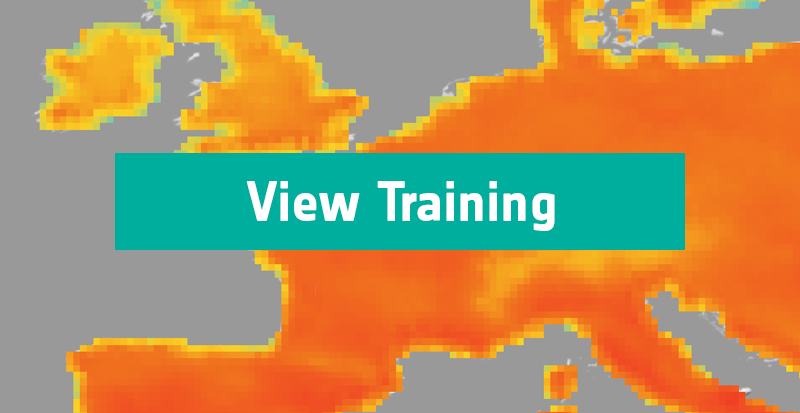
Visualising climate change with ESA-CCI's satellite-derived data
This training introduces the use of ESA CCI satellite-derived Land Surface Temperature data to monitor climate change in London, using Python to analyse long-term temperature trends and compare urban and rural heating patterns.
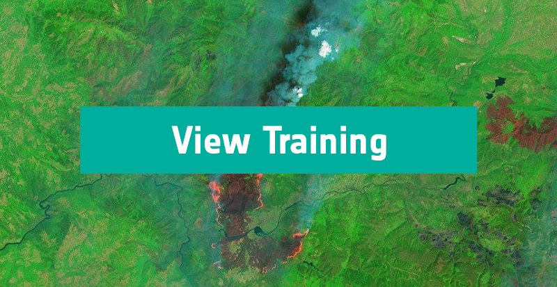
Monitoring wildfires with satellite-derived climate data
This training uses ESA CCI satellite data to investigate the 2017 wildfires in Portugal and northwestern Spain, analysing fire patterns, pre-fire drought conditions, land surface temperature anomalies and biomass loss to understand the environmental factors driving the fires and their impact on the landscape.
Monitoring changing climate in the cryosphere with satellite-derived data
This training uses ESA CCI satellite data to explore climate change in the cryosphere, analysing long-term trends in Artic sea icea decline and snow cover changes, while introducing how to assess and interpret uncertainties in satellite-derived ECVs.