Monitoring Arctic sea ice has taken a major step forward with a new method that takes into account the constant movement of ice across the ocean. Published this week in the journal The Cryosphere, this new technique uses satellite data from the European Space Agency (ESA) from 2002 to 2020 to track the movements of ice floes, some of which can travel hundreds of kilometres per month. This eliminates the positional errors that occurred with traditional ice thickness mapping methods, significantly improving the accuracy of this important climate indicator.
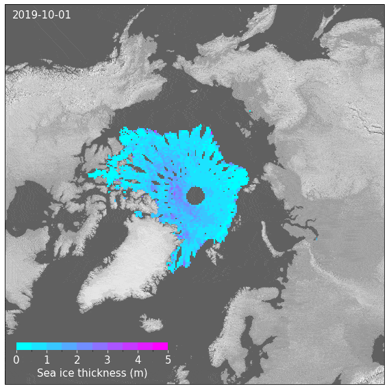
Sea ice is recognised as an Essential Climate Variable because it is both an indicator of and a driver for global climate change. Polar sea ice regulates the exchange of heat between the ocean and the atmosphere, meaning its thickness is a critical parameter for understanding climate dynamics. Over 40 years of satellite data on sea ice concentration and almost 30 years of thickness measurements show dramatic changes: Arctic sea ice extent and volume are declining in all seasons, and the ice is becoming younger and more mobile. Accurate thickness measurements are essential for calculating sea ice volume, mass balance and freshwater fluxes. Researchers contributing to ESA’s Climate Change Initiative sea ice project aim to advance satellite retrieval capabilities for sea ice concentration and thickness. The resulting time series will provide climate scientists with the long-term, consistent datasets needed to monitor these rapid polar changes and improve climate predictions.
From blurred measurements to precise tracking
Traditional satellite altimetry methods aggregate data over monthly periods to obtain an overall picture of sea ice thickness (SIT) across the polar region. However, this treats constantly moving ice as though it were stationary, which introduces problems with the data. First, significant spatial blurring - akin to photographing a moving object with a slow shutter speed - particularly in fast-moving areas such as the Transpolar Drift between Siberia and Greenland and the Fram Strait between Greenland and the Arctic Ocean, where ice can travel hundreds of kilometres within a month. Second, the aggregation creates uneven temporal coverage across different regions, which further compromise thickness measurement accuracy.
A novel technique, developed by the ESA Climate Change Initiative’s sea ice project team overcomes these limitations. Called “Drift-Aware Sea Ice Thickness” (DA-SIT), the approach tracks individual "parcels" of sea ice as they drift over time, using existing satellite altimeter data combined with sea ice drift information from passive microwave satellite radiometers. This tracking capability is increasingly important as sea ice drift speeds have accelerated over recent decades due to climate change. The method corrects for ice movement and changes in thickness resulting from growth and deformation processes occurring during the month-long data collection period. Significant improvements are achieved: regional measurement errors are reduced by 10–20 centimetres and positioning errors, which can be up to 200 km kilometres, when data is analysed in isolation are removed.
“The drift-aware method allows us to detect variations in sea ice thickness that would be missed by traditional gridded products,” explains lead author Robert Ricker from NORCE Norwegian Research Centre and Co-Lead of the ESA CCI sea ice project. “This is particularly important given that sea ice drift speeds have increased over recent decades as Arctic sea ice becomes more dynamic.”
Advancing climate science and forecasting
Daily maps produced via the new DA-SIT method facilitate direct comparison with other satellite measurements, which are crucial for climate modellers to improve climate predictions. Sea ice volume and mass balance calculations, essential for understanding Arctic freshwater fluxes, are also improved as a result of this multi-mission data integration.
"Integrating drift-awareness into future sea ice thickness mapping efforts will reduce uncertainties, especially when merging data from different missions," notes scientific leader of the Climate Change Initiative sea ice project and co-author Thomas Lavergne. "As Arctic sea ice continues to decline and becomes more mobile, advanced monitoring techniques like these are increasingly crucial for climate research and prediction.”
Reference: Ricker, R., Lavergne, T., Hendricks, S., Paul, S., Down, E., Killie, M. A., and Bocquet, M.: Drift-aware sea ice thickness maps from satellite remote sensing, The Cryosphere, 19, 3785–3803, https://doi.org/10.5194/tc-19-3785-2025, 2025.